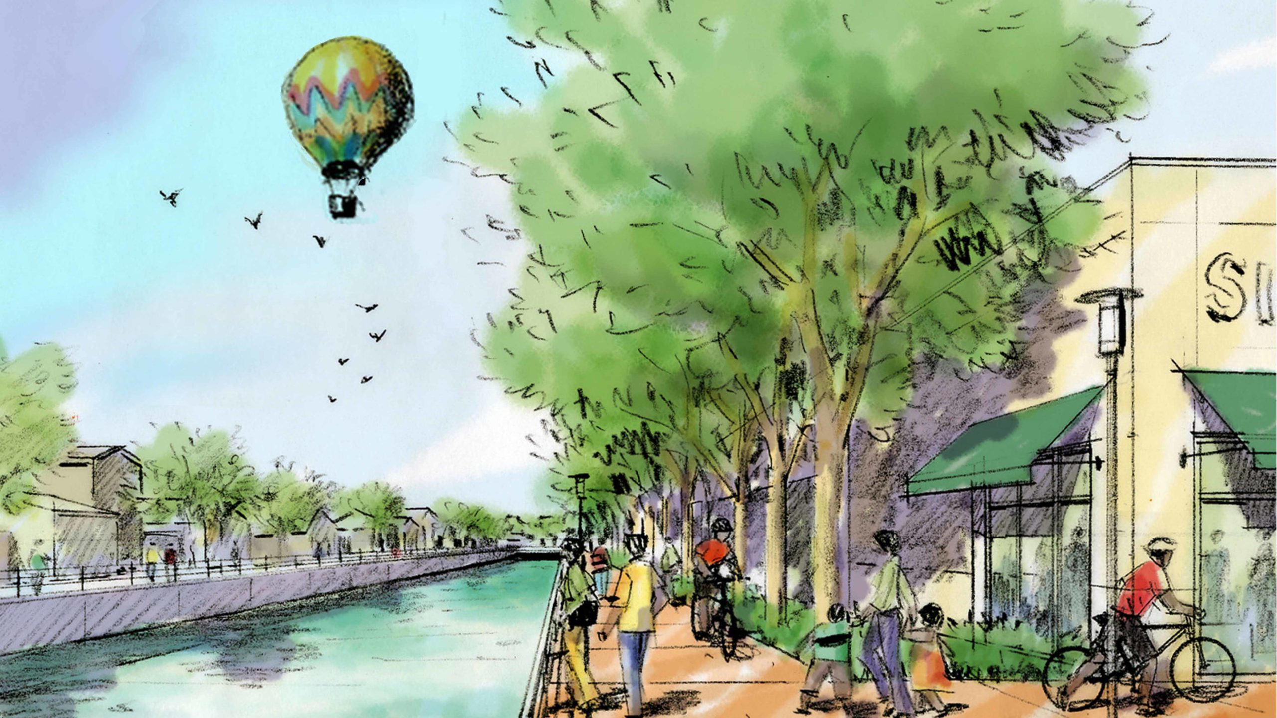
WATTS CENTRAL AVENUE CORRIDOR MASTERPLAN
The Watts Central Avenue Specific Plan is a Corridor Study of a mile-long 75-acre plan area in the Watts Corridor Redevelopment Project in South Central Los Angeles. The project will establish land use and zoning, building design, and streetscape standards along Central Avenue in the project area. The project will be one of several catalytic projects in South Los Angeles that are expected to accelerate the pace of development. The master plan assesses development opportunities along the corridor with an emphasis on determining the capacity for enhanced public improvements, a focus on retail activities, and mixed-income homeownership opportunities.
The vision for the plan area has evolved from intensive stakeholder meetings, community workshops, and design charrettes that have involved key members of the community at critical stages. The proposed guidelines and standards are informed by extensive studies of existing conditions including land uses, building inventory, traffic intensities, open space requirements, alley conditions, parcel ownership, economic analyses, and demographics of the project area and influence area.
Typology
Masterplan, Urban Design, Mixed-Use, Commercial
Location
Watts Neighborhood, Los Angeles County, California
Year
2009
Status
Completed
Size
65 Acres
Client
Community Redevelopment Agency of the City of Los Angeles
Collaborators
Economics Research Associates, Patricia Smith Landscape Architect, Iteris Inc., Arellano Associates, KPFF
Design Team
Farooq Ameen, Tracey Scott, Dan Oyakawa, Frank Wolden


